Survival & Preparedness
Backcountry Navigation, Compass Bearings, Compass Navigation, Hiking Navigation Tips, How to Use a Compass, Map and Compass Navigation, Orienteering Skills, Outdoor Skills, Survival Techniques, Wilderness Navigation Basics, Wilderness survival
shahzadt472@gmail.com
0 Comments
Navigating with a Compass: Essential Skills for Wilderness Survival
Introduction:
When venturing into the wilderness, mastering the use of a compass can mean the difference between safety and being hopelessly lost. While modern technology like GPS devices and smartphones offer precise navigation tools, they rely on batteries and satellite signals—both of which can fail in remote areas. A compass, however, is a simple yet reliable tool that works under almost any conditions. For wilderness survival, understanding how to properly use a compass can be one of the most crucial skills you develop.
Why Use a Compass?
A compass is a basic navigation tool that helps you determine direction relative to the Earth’s magnetic poles. Its primary function is to point toward magnetic north, which you can then use to orient yourself and navigate through unfamiliar terrain. When paired with a topographic map, a compass allows you to plot a course, follow bearings, and stay on track even in challenging environments such as dense forests, mountains, or open deserts.
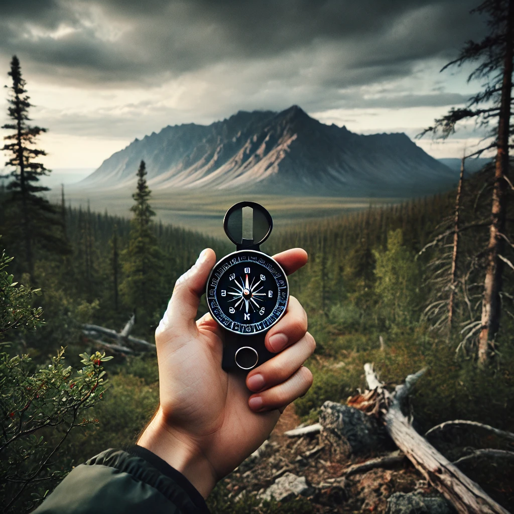
Key Components of a Compass
Before diving into the techniques of using a compass, it’s important to understand its parts:
- Magnetic Needle: The needle is magnetized and will always align itself with the Earth’s magnetic field, pointing toward magnetic north.
- Baseplate: This transparent plastic base is used for placing the compass on a map, and it often includes rulers for measuring distances.
- Compass Housing (Bezel): This rotating ring has degree markings from 0 to 360 degrees. You can use it to set and follow a specific bearing.
- Direction of Travel Arrow: Found on the baseplate, this arrow points in the direction you want to travel after setting a bearing.
- Orienting Arrow and Lines: These help align the compass with the map when determining your heading.
Understanding Magnetic North vs. True North
It’s essential to distinguish between magnetic north and true north. Magnetic north is where your compass needle points, but it’s not the same as true north, which is the direction toward the geographic North Pole. The difference between them is called “declination,” and it varies depending on your location. Maps often include the declination angle so you can adjust your compass readings accordingly.

Step-by-Step Guide to Using a Compass for Navigation
1. Orienting the Map
- Lay your map on a flat surface.
- Place your compass on the map, aligning the edge of the baseplate with the north-south grid lines.
- Rotate the map and compass together until the compass needle aligns with the map’s north direction (considering declination if necessary). Now your map is oriented to the terrain.
2. Taking a Bearing from a Map
- Find your current location and the destination you want to reach on the map.
- Place the edge of the compass baseplate on a straight line between these two points.
- Rotate the compass housing until the orienting lines on the bezel align with the north-south lines of the map.
- Read the bearing at the direction of travel arrow. This is the direction you need to follow.
3. Following a Bearing
- Hold the compass flat in front of you at waist level.
- Rotate your body until the magnetic needle aligns with the orienting arrow in the compass housing.
- The direction of travel arrow now points toward your destination. Start walking in that direction, periodically checking your compass to ensure you stay on course.
4. Taking a Bearing in the Field
- If you can see a distant landmark that you want to walk toward, you can take a bearing directly from it.
- Hold the compass flat and point the direction of travel arrow at the landmark.
- Rotate the bezel until the magnetic needle aligns with the orienting arrow. The degree reading at the direction of travel arrow is your bearing to that landmark.
Navigating with a Map and Compass
For wilderness navigation, the combination of a compass and a topographic map is invaluable. Here’s how you can use them together effectively:
Triangulation
If you are uncertain of your exact location but can identify visible landmarks on the map, triangulation can help you pinpoint your position. Here’s how to do it:
- Take a bearing on a distant landmark and note the degree.
- Place the compass on the map and align it with the landmark. Rotate the baseplate until the orienting lines align with the map’s north-south grid lines.
- Draw a line along the edge of the baseplate from the landmark in the direction of the bearing. You are somewhere along this line.
- Repeat the process with a second and third landmark. The intersection of these lines is your approximate location.
Dead Reckoning
If visibility is poor or you’re in an area with no distinct landmarks, dead reckoning is a technique that involves calculating your current position based on a previously known location and keeping track of your direction and distance traveled.
- Start with a known point on the map.
- Follow a specific bearing for a set distance, which you can estimate using a pace count or time.
- Use your compass to periodically check that you’re maintaining the correct bearing.
- Mark your position on the map based on the estimated distance traveled. Continue adjusting and recalculating as you move.
Essential Tips for Compass Navigation
- Practice makes perfect: Using a compass can be tricky at first, but practice in safe environments like a park or a trail before relying on it in the wilderness.
- Pace counting: To estimate distance, count your steps. For many people, every 60 to 70 steps equals about 100 meters on flat terrain. Learn your personal pace count on different types of terrain.
- Check bearings often: It’s easy to veer off course, especially in dense forests or open areas. Periodically stop and take a new bearing to ensure you’re still headed in the right direction.
- Beware of magnetic interference: Metal objects, power lines, and electronic devices can interfere with your compass needle. Always use your compass away from such sources of interference.
- Know how to adjust for declination: Learn the declination for the area you’re navigating and adjust your compass accordingly. Some modern compasses allow for automatic declination adjustment, but if yours doesn’t, you’ll need to manually correct your readings.
Conclusion
A compass is more than just a survival tool—it’s an essential piece of wilderness equipment that empowers you to navigate through the wild with confidence. By learning the basics of compass navigation and pairing it with a topographic map, you can explore remote locations, avoid getting lost, and most importantly, stay safe in challenging environments. Whether you’re hiking, camping, or simply adventuring off the beaten path, knowing how to navigate with a compass is a skill that could one day save your life.


Post Comment